
New Lenox Address Evidence
A New Lenox address can sit in several overlapping systems. USPS defines delivery geography. Will County 9-1-1 maintains assigned address data used by the Assessor. The Assessor connects the situs to a tax parcel, and the Recorder connects that parcel to recorded instruments. Village limits, township lines, and postal labels may disagree without any office being wrong.
Keep the postal form, PIN, legal description, tax-mailing address, and map date as separate notes. This is useful for new subdivisions, split parcels, rural-route conversions, and sites near the Village line. It also gives archive staff enough detail when a modern address is absent from an old index.
A blank portal result does not prove that no record exists. The fallback may be a public terminal, microfilm index, deed book, permit request, plat, or librarian-assisted directory search. Online and offline routes work together.
The Recorder's address mode calls for a street number, street name, and city while omitting suffixes such as Street, Drive, or Avenue. If that search fails, copy the PIN from the Assessor and test it with dashes in Recorder format. Party-name and book/page modes provide two more routes. Direct Search is a free index, but full images come through Tapestry, a Laredo subscription, or an office copy. Online documents are typically available within five days after recording.
For older material, the Joliet archive holds historical indexes, deed books, plat books, maps, microfilm viewers, and public workstations. The most efficient request starts with a recording number. When that is unknown, give the archivist the party names, trust number if relevant, approximate recording date, document type, address, PIN, and legal description. Archive staff help a visitor begin but do not conduct a title search or certify an ownership conclusion.
Address assignment is another distinct channel. When the Assessor rejects a plausible address, Will County 9-1-1's assignment and verification route is the correct place to check the official address data. Then compare that response with the weekly county address-point layer, the Assessor situs, and the USPS delivery form. The order prevents a postal variation from being mistaken for a missing parcel and prevents a mapped point from being treated as proof of residence.
Walk a New Lenox Street
Start with the address as it appears on mail, then test its parts in the Will County address search. The Assessor accepts a number alone, a street fragment alone, or both. City or town is optional. This helps when a suffix, spelling, or municipal label differs.
- Confirm the postal form through USPS.
- Search the Assessor and record the tax name and parcel identification number, or PIN.
- Open GIS and check the address point, municipal line, zoning, and nearby lots.
- Use the PIN and address in the Recorder index for the latest deed and earlier transfers.
- Use old directories when tracing earlier occupants.
This order moves from an address to a parcel before it moves to a person. A tax name may be an owner, trust, or mailing recipient and does not prove residence. A resident may also live at the site without owning it. A New Lenox street directory therefore works as a chain of records, not one occupancy roll.
New Lenox Records by Address
Each source answers a different street question. County and Village offices also offer desk, phone, mail, and records-request routes when the portal falls short.
| Source | What it shows | Access |
|---|---|---|
| Assessor | Tax name, parcel, address and sales leads | Free portal; township assessor questions |
| County GIS | Parcel shape, PIN, address points and map layers | Free viewer |
| Recorder | Owners, transfers, liens and plats | Free index; paid images; archive |
| Permit files | Applications, approvals and occupancy records | Village FOIA or county SmartGov |
| Old directories | Period occupants, firms and rural routes | Library research rooms |
No row proves who now lives in a home. The tax roll is strongest for a current owner lead. Deeds establish recorded interests. Historical volumes associate an occupant with one publication year, subject to gaps and spelling changes.
Search New Lenox Address Fields
The Assessor has six modes. Search broadly, then narrow by city, subdivision, sale, or class.
| Field | Format | Use |
|---|---|---|
| Address number | Number alone allowed | Find parcels sharing it |
| Street name | Text fragment | Find containing names |
| City / town | Optional | Narrow without assuming limits |
| PIN | Six segments; partial allowed | Search 14- or 16-digit forms |
| Tax Name | Begins-with | Current tax name, not occupancy |
| Sale fields | Date and amount ranges | Compare street transfers |
View the address form used for this street directory search.
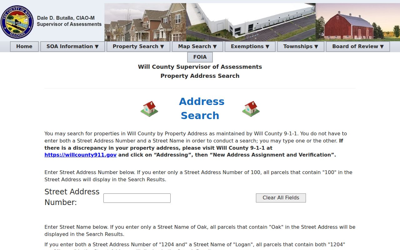
Separate inputs let a reader test a street fragment before adding the locality, useful near jurisdiction lines.
New Lenox PIN Search Quirks
A PIN identifies land even when a street label changes. New Lenox uses code 08 in the 14-digit form and 15 in the 16-digit form. The Recorder stopped appending four zeroes in November 2006 when a source document lacked them, so a deed chain can seem broken.
Open the six-part PIN search to see its partial-search fields.
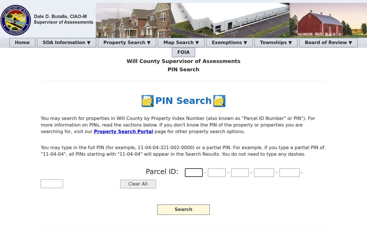
Try raw 14-digit, 16-digit, partial, address, and legal-description searches before deciding a record is absent.
- Parcel
- A mapped unit of land with a PIN.
- Situs address
- The physical property address, distinct from tax-bill mail.
- Plat
- A recorded map of lots, blocks, streets, or easements.
- Criss-cross directory
- A directory ordered by street or address.
Map New Lenox Street Parcels
The Will County GIS viewer adds spatial context. Click a parcel, copy its PIN, and inspect adjacent lots. Layers include address points, historic parcels, municipal limits, subdivisions, zoning, flood areas, schools, parks, and polling places.
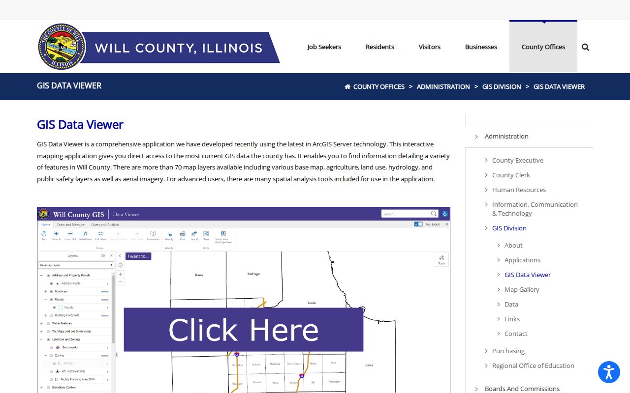
Layer dates matter. In 2026, address points and streets were weekly, zoning monthly, municipal limits from March, and parcels from summer. GIS is not a legal survey.
New Lenox Street Jurisdictions
The Village zoning map marks white or uncolored parcels outside Village zoning. Such sites fall under unincorporated Will County rules even beside incorporated lots. This local geography changes which office holds permits.
Review the Village zoning guidance before making a request.
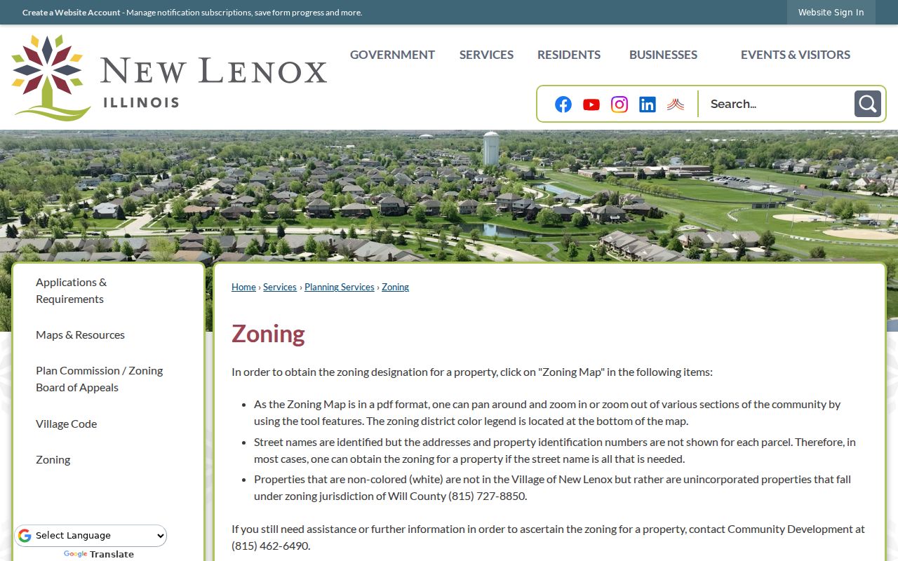
Check the parcel boundary first, then route Village files to the Clerk or Community Development and county files to SmartGov.
New Lenox Permits by Street
Village files can date construction, remodeling, signs, pools, decks, demolition, vacant-property registration, and certificates of occupancy. No public historical address index was found. For an incorporated parcel, use the Village FOIA form with an address, date range, department, and record type. Illinois FOIA ordinarily allows five business days, subject to extension.
For unincorporated land, search SmartGov by parcel.
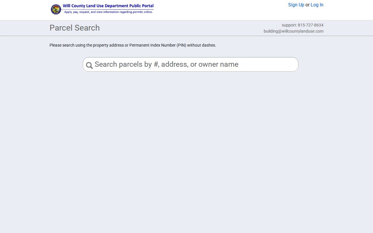
If no permit appears, contact the custodian. Portal coverage depends on jurisdiction and date.
Follow New Lenox Street Deeds
Recorder Direct Search usually covers 1965 forward. Its address mode uses street number, street name, and city, omitting St, Dr, or Ave. PIN, party, and book/page searches offer other paths. Images come from paid services or office copies.
Older documents are at the Joliet Archives Department, with workstations, microfilm, indexes, books, and plats back to the county's 1836 inception. Staff help begin a search but do not do title work. Bring a recording number, or names, dates, type, address, PIN, and legal description. For one address backward through time, use the New Lenox previous residents search.
Old New Lenox Street Names
No official villagewide renaming list was found. Search ordinances, agendas, plats, address verification, and period directories for a suspected change. Early sources may say Van Horne Point, Tracy, New Lenox Township, Gougar Crossing, Lincoln-Way, a rural route, or a railroad stop.
The local shelf includes Will County directories from 1859-60 and 1872-73, Joliet runs from 1875 through 1997, the 1934 rural-route book, and a 2002 regional volume. Their collections are detailed on the New Lenox Directory Book page.
Verify New Lenox Street Results
A street result is stronger when its address is checked across several custodians in a fixed order. USPS supplies the standard delivery form and ZIP, but a ZIP result does not prove a person or firm is present. Will County 9-1-1 maintains the address data used by the Assessor. GIS ties that address point to parcel geometry. The Assessor supplies the tax name, and the Recorder links a PIN or legal description to recorded documents. Keep the date and exact field used in each system.
If layers disagree, do not choose the newest-looking screen. A Treasurer mailing address serves tax-bill delivery and may be far from the situs. GIS can lag a recent parcel split. The Recorder may index an old deed under a former PIN, short party name, or legal description. Work back to the office responsible for the fact: USPS for delivery, 9-1-1 for assigned address data, the Assessor for tax rolls, the Recorder for documents, and a plat for mapped lots.
A useful street-directory note records both the match and its limit. An Assessor result can confirm that a tax name is linked to a parcel on the search date, while saying nothing about other household members. A deed confirms the parties and interest stated in that instrument, but not later events.
Current New Lenox Map Dates
County layers change on different schedules. The 2026 inventory dated municipal limits to March, parcels to summer, taxing districts to June, and school districts to January 2023. Address points and streets were refreshed weekly, while unincorporated zoning was monthly. Those dates help explain why a new road, annexation, lot split, or subdivision can appear in one system first.
New Lenox growth also creates a public paper trail. Village packets document subdivision, zoning, infrastructure, and annexation decisions. Current road, water-main, Commons, and treatment-facility work can produce contracts, plats, permits, reports, and board records tied to a street. Search the New Lenox Agenda Center for a meeting date or project name before making a focused records request.
Near a growth edge, save the PIN and a dated map view. A later search can then distinguish a true boundary or address change from a routine data refresh. This also helps when comparing today's street directory with historic parcel layers from 2002 through 2024.
Limits of New Lenox Street Records
Tax files identify owners or mailing recipients, not each resident. Utility accounts, driver data, library use, restricted vital files, sealed cases, and private emergency profiles are not public street directory material. The voter lookup needs a known name, birth date, and ZIP and cannot browse a street.
Lawful use. New Lenox address research supports property history, genealogy, civic inquiry, and personal safety. Never stalk, harass, threaten, or expose protected data.
State what each source proves. Postal delivery, mapped situs, tax ownership, recorded title, and occupancy are separate facts.