
New Lenox Previous Resident Sources
No single roll names everyone who occupied a New Lenox address. Begin with the present parcel, then choose sources that match the period. Deeds identify recorded owners, while directories, census schedules, newspapers, and probate files can supply household names. Permit and map files date changes to the building itself. Each source has gaps, so a strong account of previous residents rests on two independent records whenever possible.
| Source | Years It Covers | Where Held | What It Shows |
|---|---|---|---|
| Recorder deed index | Typically 1965 to current online; county records from 1836 | Will County Recorder and Joliet archive | Recorded parties, transfers, PIN and legal description |
| Will County and Joliet directories | 1859-60, 1872-73, 1875-1997, plus a 2002 regional volume | Joliet Library and Historical Museum | Period households, firms, addresses and rural routes |
| 1934 Rural Route Directory | 1934 | Joliet local-history collections | Farm and rural-route households before modern street numbering |
| Federal census | Public schedules through 1950 | Archives and library databases | Household members, relationships and enumeration geography |
| Village permits and occupancy files | Coverage varies by record type | New Lenox Community Development and FOIA | Work dates, applicants and property changes |
For a recent transfer, start with the Assessor and Recorder. For a mid-century home, combine the 1934 rural volume or later Polk directories with the nearest open census. Earlier rural property may require deed books, plats, probate, cemetery records, and the rare surviving 1845 Will County state census. Postal city, township, and Village borders are not interchangeable.
Start With Today's New Lenox Parcel
The Will County property portal searches by address, PIN, owner, sale, subdivision, or property class. Record the current tax name, situs address, PIN, and any prior PIN shown. A tax name is a starting point, not proof that the owner lives at the house. The Treasurer may hold a different mailing address for tax bills.
Open the parcel in county GIS to compare the legal lot with address points, municipal limits, historic parcel layers, and subdivisions. New Lenox uses code 08 in the 14-digit PIN form and 15 in the 16-digit form. Preserve both forms because later deed searches may index one but not the other.
New Lenox Deeds Before 1965
The free Recorder Direct Search normally reaches back to 1965. That year marks the practical online cutoff, not the beginning of Will County land records. Earlier deeds, mortgages, releases, plats, and indexes remain at the Recorder Archives Department in Joliet on microfilm, in books, and on public workstations.
The Recorder archive and copy page explains the offline route.
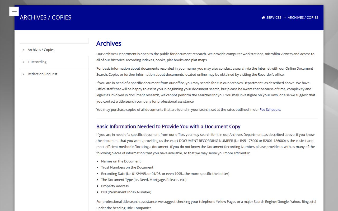
Bring a recording number if known. Otherwise supply party names, approximate dates, document type, property address, PIN, and legal description. Staff can orient a researcher but do not perform a title search.
The New Lenox PIN Zero Trap
In November 2006, the Recorder stopped appending four ending zeroes when they were absent from the source document. The database was not repaired across all earlier entries. That small indexing change can make a clean chain look broken.
Recorder search guidance supports several ways around it: test the 14-digit PIN, 16-digit PIN, a partial PIN, address, party name, book/page, and the legal description. Search the seller under both grantor and grantee roles. A result gap should trigger a new index method before it becomes a conclusion about ownership.
Trace Will County Owners Backward
A deed chain follows recorded transfers from the present owner into the past. The Recorder index is a finding aid, while the deed image carries the legal terms. Match the PIN and legal description at every handoff because a street number alone can change or cover only part of a tract.
- Pull the current tax name and PIN from the Assessor, then confirm the parcel in GIS.
- Find that owner's purchase deed by PIN, address, or party name.
- Read the deed for the seller, recording number, date, and legal description.
- Search the seller as a prior grantee to locate that person's acquisition.
- Repeat until the online index ends, then continue in archive indexes and deed books.
- Grantor / grantee
- The grantor transfers an interest; the grantee receives it.
- Chain of title
- The sequence of recorded transfers affecting one parcel.
- Legal description
- The formal land description based on lot, block, subdivision, section, or surveyed bounds. It survives many address changes.
The Recorder's historical search instructions show address, PIN, party, and book/page methods.
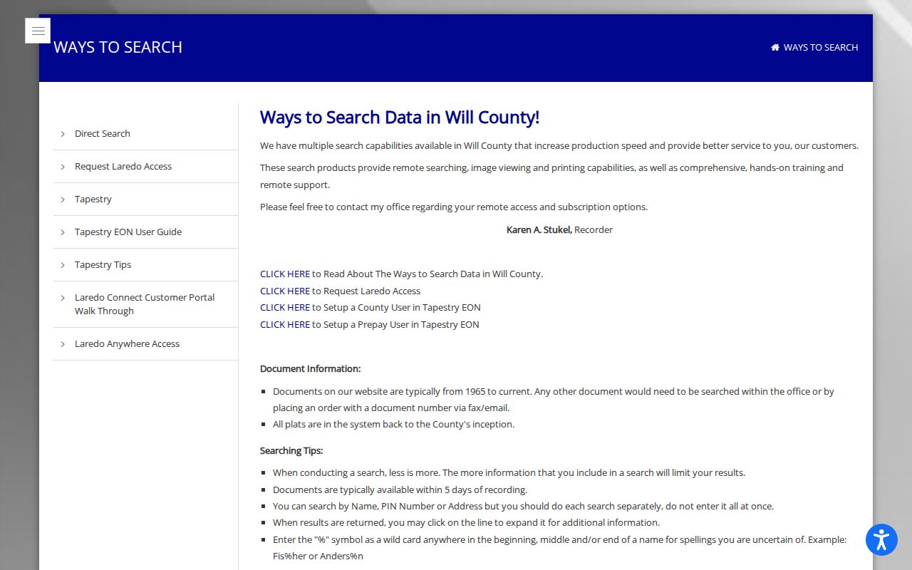
The screen is a route to indexed documents, not a certification that the displayed party lived at the property.
Pair New Lenox Directory Eras
The 1934 Rural Route Directory can bridge farm addresses to the 1940 census. A 1953 or 1954 Polk volume can be compared with the 1950 census, while a 1960 directory shows the next decade's address and household pattern. Census schedules may use New Lenox Township or an enumeration district rather than post-1946 Village lines.
- Find the household in the closest directory year.
- Copy all initials, spouse names, occupations, neighbors, route labels, and street variants.
- Locate the matching census district and compare the people in the home.
- Check the next directory to see who remained, moved, or appeared under a changed address.
This comparison is an interest-layer view of the farm-to-subdivision transition. It does not assume that an owner and occupant were the same person.
New Lenox House History Desks
The New Lenox Public Library has an upstairs Family and Local History area, vertical files, microfilm, and a research computer. Nearby, the Joliet Public Library's Ottawa Street Local History Room holds Will County books, newspapers, directories, telephone books, plats, yearbooks, and obituary indexes. Staff offer local research help and can search an announcement when given a month and year.
Review the Joliet history and genealogy holdings before planning a directory search.

The library screen points to the offline collection that fills gaps left by parcel and deed portals. The Joliet Area Historical Museum and Will County Historical Museum add directories, obituaries, mortgages, cemetery files, architectural material, and research assistance.
Early New Lenox Names and Places
Search Van Horne Point, Tracy, New Lenox Township, Gougar Crossing, rural routes, and Lincoln-Way as well as New Lenox. The Village did not incorporate until 1946, so an earlier household may be correctly filed under township, railroad, or crossroads geography. The 1845 Will County state census is a rare survivor donated by the Historical Museum to the Illinois State Archives.
Maplewood Cemetery may date to the 1850s or earlier. Marshall Cemetery appears on an 1873 township plat but not the 1862 plat. Those map and cemetery clues can be compared with the 1872-73 Will County directory without inventing a house number that did not yet exist.
The Illinois wills and deeds collection offers another indexed and image route where access permits.
Use the collection as a lead, then confirm a Will County document with the custodian or archive.
Confirm New Lenox Past Households
Owners are only half the story. Street-ordered directories, telephone books, census schedules, and newspapers may identify people who occupied an address without holding title. The Will County and Joliet collection runs are explained on the New Lenox Directory Book page. No confirmed central criss-cross run was found, so ask the local-history desk which volumes include street or reverse order before visiting.
Obituaries can connect a former resident to relatives, a date, church, cemetery, or later home. Probate files may name heirs, executors, guardians, inventories, and real-estate sale participants. The Circuit Clerk offers limited web access, fuller courthouse terminals, and physical or archive files. IRAD at Northern Illinois University holds Will County probate case files from 1837-1900 and wills through 1905, among other transferred series.
The digitized Lenox Time Table adds a deep local newspaper layer from 1910 through 2015. Its 46,557 pages can reveal sale notices, obituaries, social items, development names, and civic references that connect a former household to a date. Search the optical text with several spellings, then inspect the page image and issue date. Optical character recognition can misread initials, faded type, and narrow columns, so the transcript alone is not enough.
Permits and maps help date the structure even when they do not name every occupant. Incorporated parcels route building permits, certificates of occupancy, plans, and zoning files through New Lenox Community Development or a focused Village FOIA request. White or uncolored parcels on the Village zoning map fall under Will County zoning, where SmartGov and county files are the better route. State the address, PIN, record type, department, and date span. No complete public historical permit index was found.
Fire-insurance maps can show a building footprint, use, and nearby features, but no specific New Lenox Sanborn sheet was confirmed in the reviewed collection. Search the Library of Congress by place and year without promising coverage. Historic parcel layers, plats, rural surveys, and cemetery maps are firmer local substitutes. They can establish when a lot or building appears while the deed, directory, census, or newspaper supplies the person link.
Lawful use. Research previous New Lenox residents for house history, family history, heirs, or personal curiosity. Never use an address trail to stalk, harass, threaten, or expose a living person.