
New Lenox Neighbor Source Map
The public view of a New Lenox block is made from separate official records. County GIS shows parcel shapes and address points. The assessor links each parcel to a current tax name and mailing address. Permit systems show work tied to an address, while agendas and plats explain development decisions. The voter tool can confirm a known person, but it cannot be browsed by street. No source proves who is inside every nearby home.
| Source | What It Shows About a Block | Access |
|---|---|---|
| Will County GIS Data Viewer | Parcel edges, addresses, districts, zoning and municipal limits | Free map viewer |
| Supervisor of Assessments | Current tax name, situs and mailing details by parcel | Free portal |
| Village and SmartGov permits | Public permit forms, cases and parcel documents by jurisdiction | Online or records request |
| Village Agenda Center | Subdivision, zoning, road and board records | Free archive |
| Historic directories | Past households near an address, with coverage gaps | Library or museum research |
Owner and occupant are not synonyms. A tax mailing address may differ from the parcel's physical, or situs, address. A renter, relative, or other household member may never appear on the parcel card. Use these records to understand land and public activity, not to claim a complete roster of your neighbors.
Click Around New Lenox Parcels
The Will County GIS Data Viewer is the best map-first tool. Search the starting address, identify its parcel, then pan one lot at a time. Record each adjacent PIN and street number before switching to the assessor. GIS layers include parcels, address points, municipal limits, historic parcels, zoning, flood areas, schools, and public districts.
- Verify the starting address and select its parcel.
- Click the parcels that share an edge, then the lots directly across the street.
- Write down each PIN, situs address, and visible jurisdiction layer.
- Open the assessor search to compare each current tax name and mailing address.
- Use the Recorder only when a deed date or owner chain is relevant.
This tight radius keeps a neighbor lookup focused. For every parcel along a full road, use the New Lenox street directory workflow instead.
Compare New Lenox Tax Names
The assessor accepts a parcel ID, property address, sale date or amount, subdivision, owner name, or property class. For a block study, address and PIN searches are the safest bridge from the map. Compare the tax name with the situs address. When the mailing address differs, do not assume the owner lives elsewhere or that another person occupies the home.
New Lenox parcels have a PIN quirk. The 14-digit form uses computer code 08, while the 16-digit form uses code 15. In November 2006 the Recorder stopped appending four zeroes when they were absent from the source document. If a parcel trail seems to vanish, try the raw 14-digit PIN, the 16-digit form, a partial PIN, address, and legal description.
A deed adds time to the block map. Will County Recorder Direct Search normally indexes documents from 1965 forward, and its search guidance supports names, addresses, and PIN forms. Search each selected parcel rather than searching a loose street name. A deed identifies grantors and grantees, the people or entities transferring and receiving an interest, along with its recording date and legal description. It does not prove who moved into a home on that date. Images may require a paid channel, while older deeds, books, maps, and microfilm are researched through the Recorder's Joliet Archives Department. Keeping the parcel list small makes that copy work manageable.
Two New Lenox Record Keepers
A New Lenox mailing address does not settle which government keeps a permit or zoning record. The Village zoning map leaves some parcels white or uncolored because Will County controls zoning there. Nearby homes can therefore send the same kind of request to different offices.
The Village permit page lists residential, multifamily, commercial, pool, deck, driveway, demolition, occupancy, and vacant-property forms for its jurisdiction.
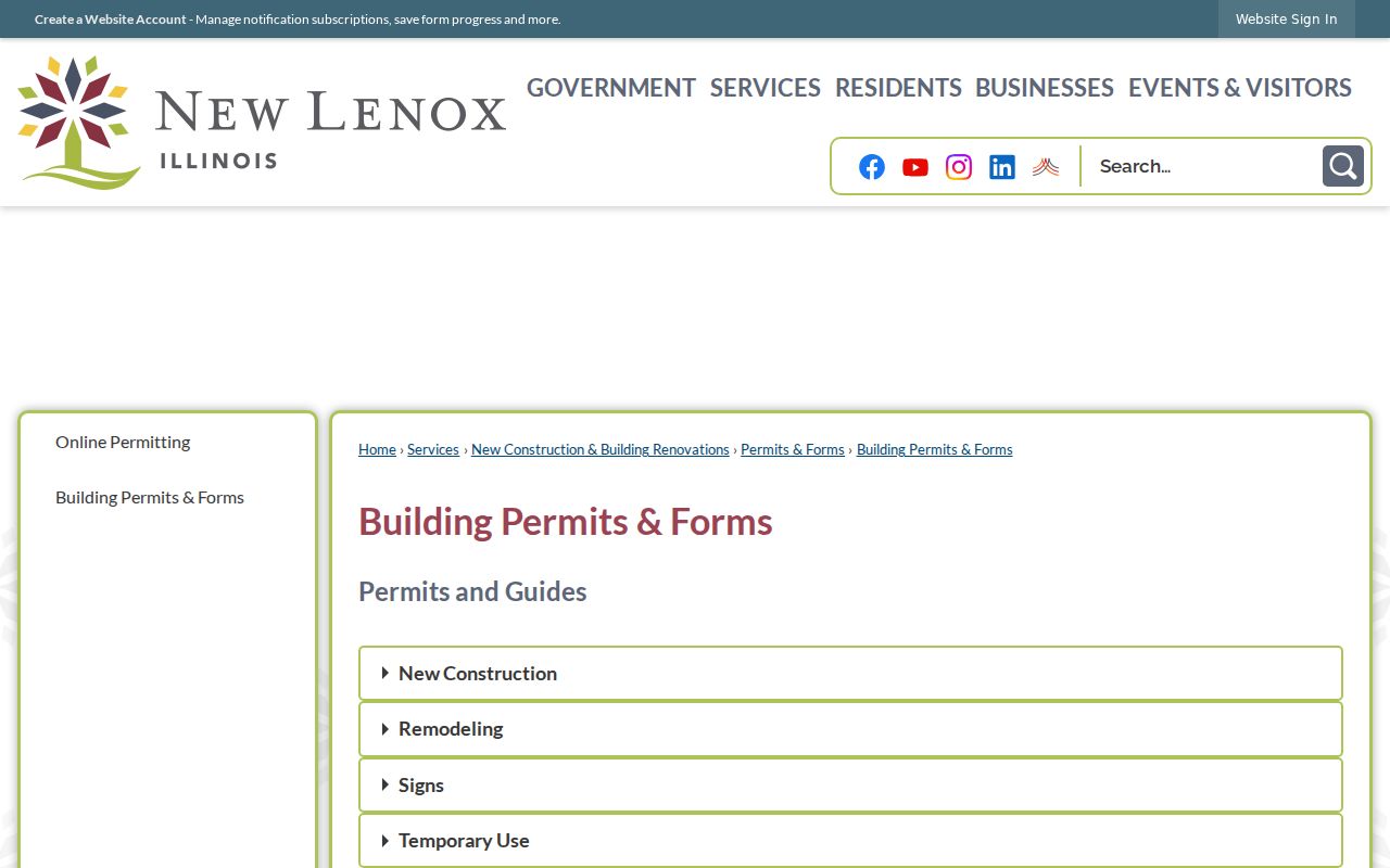
The image shows the Village route. For unincorporated land, Will County SmartGov provides parcel search, public notices, documents, and reports.
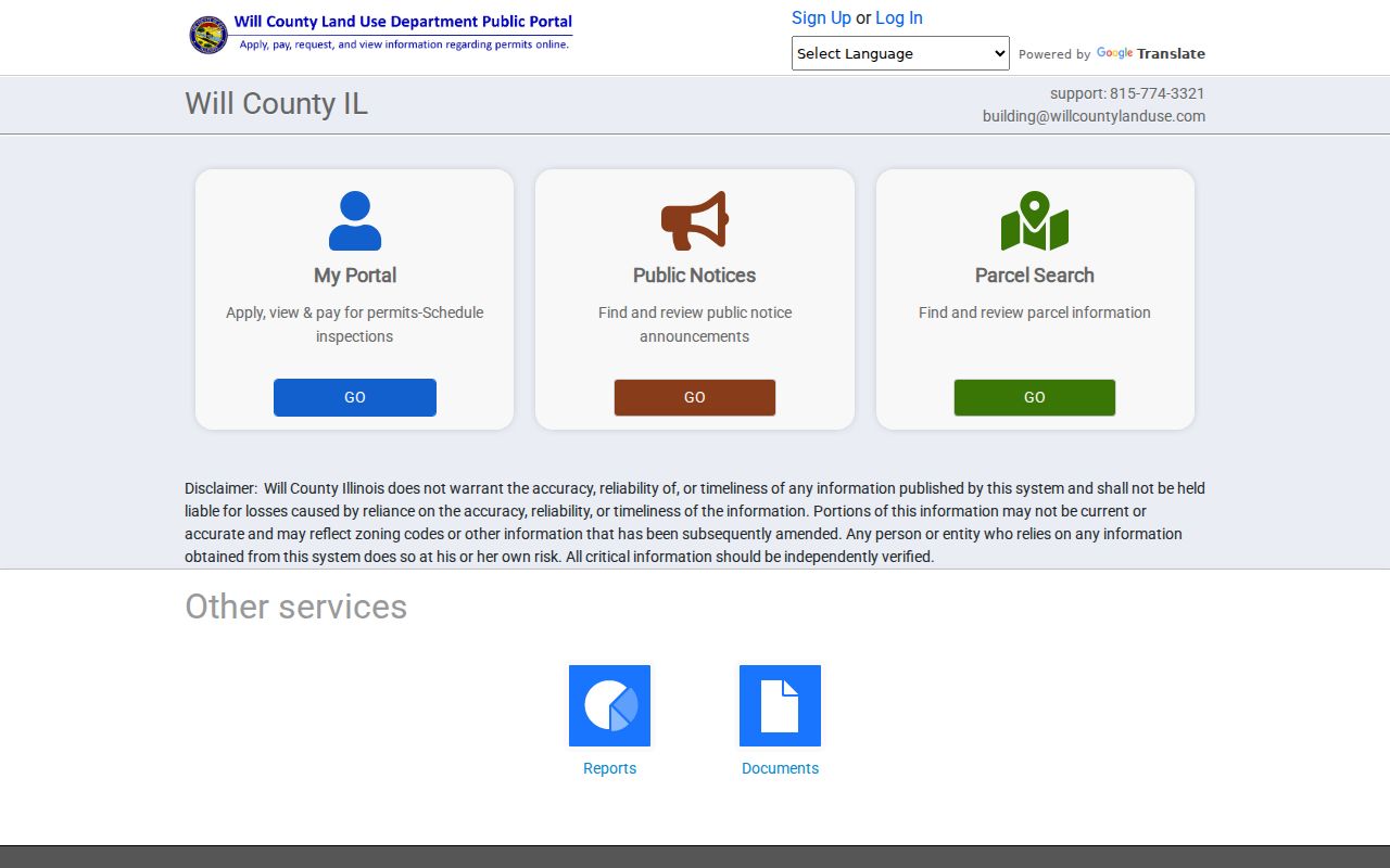
Checking the municipal-limit layer first prevents a request from going to the wrong custodian.
Read New Lenox Planning Records
Planning files can explain why a block looks the way it does. Subdivision plats, zoning applications, special-service-area maps, Plan Commission packets, and development records identify public decisions without exposing private household data. New Lenox research surfaced names such as Nelson Ridge, Sanctuary Pointe, Taylor Glen, Laurel Meadows, and Landings as useful subdivision search terms, not as a complete neighborhood list.
The Village Planning Services page explains the Plan Commission and Zoning Board of Appeals role and notes that applications are submitted in person.
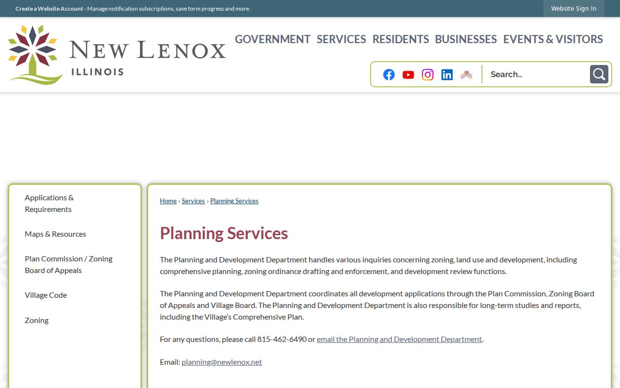
The planning route is useful when parcel lines, land use, or a proposed project matter more than an owner's name.
For a recent project, pair the application with the related meeting packet and final action. Building, zoning, and occupancy records may sit with the Village for incorporated parcels, while Will County SmartGov covers county jurisdiction. The Village FOIA catalog also identifies permits, certificates of occupancy, zoning, and other municipal files that can be requested when the public screen lacks the needed date or document. Ask for a street address, parcel number, record type, and narrow date span. That phrasing helps the clerk find a file without turning a block question into an overbroad request.
Follow New Lenox Public Boards
No central public HOA directory was located in the official research. Do not infer an association or promise access to private member rosters. Public boards offer a better documented community layer: Village Board, Plan Commission, Zoning Board of Appeals, library, park, township, school, and fire-district records can show meetings, projects, boundaries, and named officials.
The New Lenox Agenda Center holds current agendas, packets, minutes, cancellations, and archives.
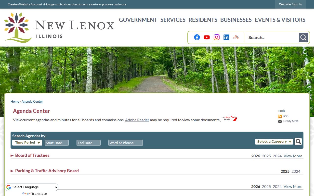
Search a subdivision, road, project name, or board date. Those records describe public action around neighbors without turning a private roster into a public claim.
Village Clerk
Agendas, minutes, municipal FOIA, licenses, and official Village records.
Planning Services
Plan Commission, zoning appeals, subdivisions, and development applications.
Will County
GIS, unincorporated permits, parcels, public notices, and county districts.
Older block context follows a different path. Joliet Public Library holds Will County directories from 1859 to 1860 and 1872 to 1873, Joliet city directories from 1875 onward, telephone books reaching back to 1908, and county plat books. New Lenox names may appear under a township, rural route, or nearby Joliet heading. The official collection descriptions do not confirm a separate online criss-cross series, so an address-by-address historical search may require staff help. Compare adjacent surnames, street order, directory year, and a plat before claiming that two entries were on the same modern block.
Check New Lenox Service Lines
People on one block may share a postal city but receive services from different bodies. The Village guide for new residents points to library, township, fire and emergency medical service, and county animal-control jurisdictions.
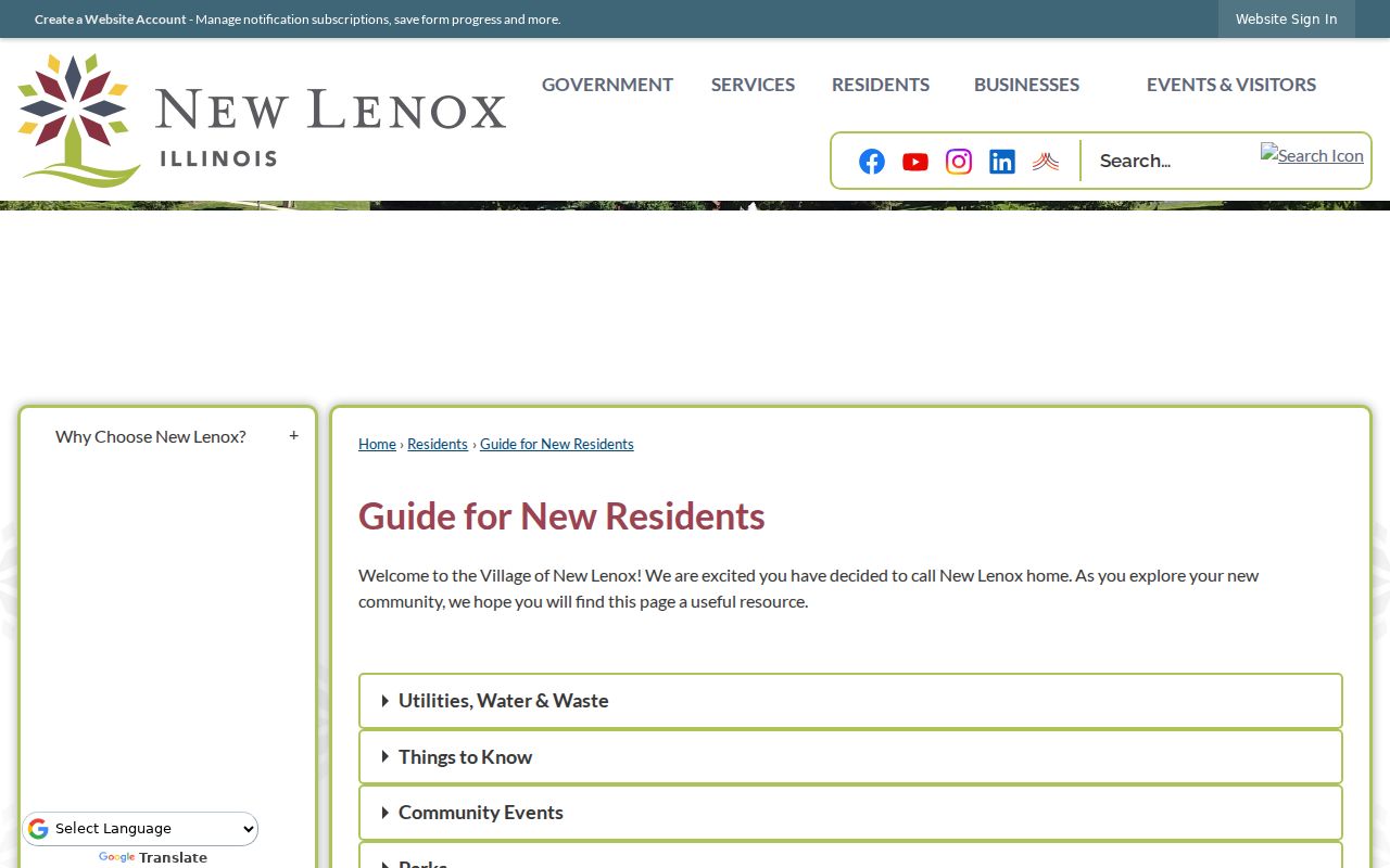
The guide helps route a service or records question. It does not identify residents. Confirm a parcel's taxing-district and municipal layers in GIS because county data dates change, and map answers are time-stamped rather than permanent.
Map a New Lenox Block
Keep a simple block ledger as the map expands. One row per parcel is enough: street number, PIN, tax name, mailing-address match, municipality or county jurisdiction, subdivision, and the date checked. That method separates what the official roll says from what a searcher assumes about nearby homes.
- Address to GIS parcel and address point.
- Parcel to adjacent PINs and jurisdiction layers.
- PIN to assessor tax name and mailing fields.
- Jurisdiction to the correct permit, planning, or FOIA custodian.
Stop at the selected radius. Expanding without a clear civic, property, or personal reason raises error and privacy risk.
New Lenox Voters Are Not Browseable
The Illinois voter lookup requires a known first name, last name, birth date, and five-digit ZIP. It confirms registration and polling-place details for that person. It cannot list all registered voters on a New Lenox block, and ZIP is an identity field rather than a neighborhood filter.
Illinois Election Code provisions restrict electronic voter data and redact public fields. Protected voters may have additional safeguards. Precinct registration counts can describe civic participation in an area, but they cannot name the people in each home.
Registration data also changes with elections and address updates. A missing match can reflect a spelling issue, a changed ZIP, inactive status, or the tool's required fields. It is not proof that the person does not live nearby. The county parcel roll and GIS serve the land question; the voter lookup serves only the known voter's status question. Keeping those purposes separate avoids turning a limited confirmation into an unsupported household claim.
Compare New Lenox Neighbor Tools
Official records are narrower than commercial neighbor tools, but their custodian, date, and meaning are clearer. Commercial compilations may merge old addresses, relatives, phones, and same-name people without showing how the match was made.
| Source type | Strongest use | Main limit |
|---|---|---|
| County GIS and assessor | Parcel shape, address, and tax name | Does not list every occupant |
| Village or county files | Permits, plans, plats, and board action | Jurisdiction and date matter |
| Commercial compilation | Possible leads from mixed datasets | May be stale, merged, or unsourced |
Verify any important fact with the office that keeps it. A neat commercial profile is not a substitute for a dated parcel card, filed deed, permit, or board record.
Protect New Lenox Neighbor Privacy
Public parcel and address-point layers do not open private life. Renters and household members may not appear. Utility accounts, delivery data, library records, confidential vital files, sealed court material, and private association rosters are not block directories. Smart911 may hold multiple addresses and household or safety details for emergency response, but those profiles are private safety data.
Illinois Address Confidentiality Program participants can use a substitute address. The program cannot erase information already made public and cannot guarantee property-record confidentiality, so restraint still matters when copying or sharing a record.
Lawful use. Research New Lenox neighbors for civic, property, or personal purposes. Never use records to watch, harass, threaten, or intimidate someone.